
MPMSOFT
Where distorsion ends, clarity begins.
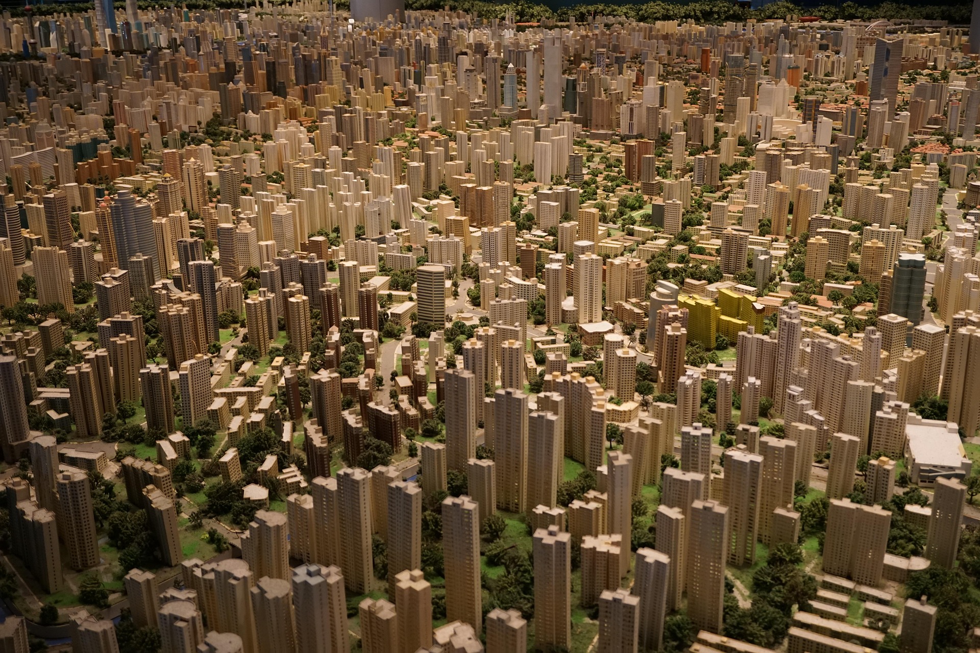
Mpmsoft delivers innovative geospatial software solutions that make complex spatial data smarter, more accurate, and usable. Specializing in GIS and 3D spatial technologies, we develop powerful tools that help professionals extract data faster, refine it precisely, and utilize it effectively. This way, complex data becomes directly integrable into real-world applications.
Rapid
If it looks flawless, we've already been there.
Accurate
Ensures highly accurate results by correcting even the smallest distortions, delivering spatial data you can fully trust.
Operator Friendly
Designed to simplify complex 3D map corrections, enabling faster and more efficient workflows for operators.

Products

Fast Urban Editor
Automatically detect and structure mesh from raw geospatial data.
With advanced GIS and 3D spatial intelligence, Fast Urban Editor identifies, extracts, and organizes mesh structures from complex geospatial datasets. It is capable of detecting even the smallest details within geospatial mesh data, turning unstructured information into clean, ready-to-use 3D assets. Designed to help professionals work effortlessly with terrains, environments, and infrastructure, Fast Urban Editor brings real-world usability and precision to the forefront.
Fast Mesh Editor
Simplify complex edits. Focus on accuracy.
Fast Mesh Editor tackles key geospatial challenges like improving the geometric accuracy of 3D city models and refining terrain from raw mesh data. It allows users to easily align and correct 3D mesh structures to match real-world conditions, while minimizing manual effort. By reducing time, cost, and complexity, it makes high-precision editing fast, accessible, and efficient.

About Us
Founded in 2024 as a joint venture between Miselyum and MipMap, Mpmsoft is a cutting-edge technology company specializing in geospatial software solutions. Our core expertise lies in GIS and 3D spatial technologies, where we develop innovative tools designed to transform complex spatial data into intelligent, accurate, and usable assets.
Our mission is to bridge the gap between raw 3D data and real-world applications by converting unstructured geospatial models into meaningful, precise, and editable digital resources. From enhancing urban mesh models to accelerating terrain analysis, Mpmsoft empowers engineers, surveyors, and city planners with intuitive and high-performance solutions that simplify complex workflows.
Driven by innovation and practical industry needs, we combine advanced algorithms with user-focused design to bring clarity and precision to the geospatial data landscape.